Designing trails and edges along Lincoln's creeks
How landscape architects approach urban stream corridors in Lincoln: floodplains, stable banks, riparian planting, trail alignment, access to water and the long view of a creek as a shared public space.

By Matthew Bovee · Upd. · 7 min
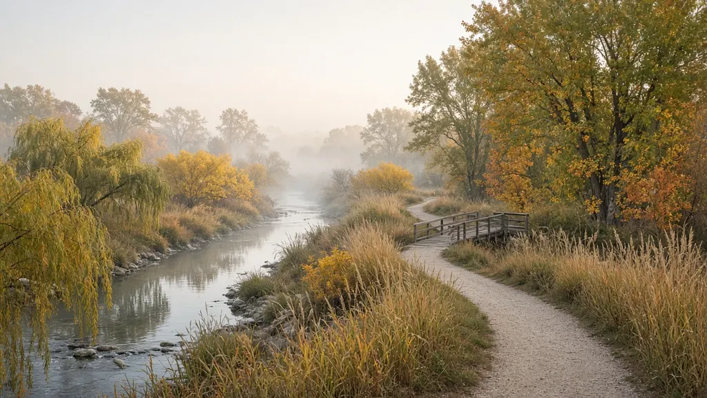
Lincoln has a network of creeks that run through neighborhoods, parks and commercial areas, many of them paired with trails that people use every day for commuting, running and walking dogs. From a trail, a creek can feel like scenery. From a design perspective it is one of the most complex systems in the city: it carries stormwater, floods, erodes, supports wildlife and connects places that otherwise have little to do with each other.
Several of my studio projects have focused on stretches of urban creek corridor. This article summarizes the questions I have learned to ask before drawing anything along a stream, and the principles that seem to make the difference between a corridor that works and one that fights the water every year.
Start by respecting the floodplain
A creek is not just the channel you see on a dry day. It includes the floodplain, the low land that carries water when the creek rises. In urban areas, floodplains are often mapped, and development in them is regulated. For designers, the floodplain is less a constraint than a guide: it tells you where water wants to go.
Before I design anything near a creek, I look at:
- Mapped flood zones, to understand where regular and extreme flooding may occur.
- Topography, to see the shape of the valley and where water spreads out.
- Evidence on the ground: debris lines, sediment deposits, scoured banks and flattened vegetation after high water.
- Infrastructure: outfalls, culverts, bridges and utilities that shape how water and people move.
The general rule is simple: keep permanent structures out of the way of floods, and design anything that must be in the floodplain to get wet and recover.
Banks: stability comes from roots and room
Urban creeks often have steep, eroding banks. This usually happens because more runoff enters the creek, more quickly, than it did before the area was developed. The water has more energy, and it cuts into the channel.
Designers and engineers have a range of responses, from hard armoring with rock or concrete to softer approaches that use plants, shaped slopes and natural materials. Softer approaches, often called bioengineering, try to rebuild stability with living roots.
| Approach | What it is | Trade-offs |
|---|---|---|
| Hard armoring | Rock, concrete or walls | Immediate protection, little habitat, can move erosion downstream |
| Hybrid | Rock at the toe, plants above | Balances stability and habitat, common in urban settings |
| Bioengineering | Live stakes, fascines, coir logs, planted slopes | Habitat and natural look, needs time and maintenance to establish |
| Laying back the bank | Regrading to a gentler slope | Most stable long-term, needs space |
Most of the time the most effective move is to give the creek more room. A gentler bank slope, set back from the channel, spreads water during floods and lets plants establish. That takes land, which is why creek corridors benefit from being planned as connected open space rather than leftover strips.
Riparian planting
The band of vegetation along a creek, the riparian buffer, does a lot of quiet work. It shades the water, filters runoff from adjacent land, stabilizes banks with roots, provides habitat and creates a corridor for wildlife moving through the city.
When I plan riparian planting, I think in zones from the water outward:
- Toe of the bank and wet edge: plants that tolerate frequent flooding and fast-moving water, often willows, sedges and rushes.
- Bank slope: deep-rooted grasses, forbs and shrubs that hold soil.
- Upper bank and floodplain: trees and larger shrubs that shade the corridor, with prairie-inspired plantings in open areas.
Native cottonwoods, willows and other floodplain species are part of what makes Nebraska's creek corridors recognizable. Choosing plants for each zone follows the same site-first logic I describe in planting design for Lincoln's climate.
Trail alignment: close enough, not too close
Trails are how most people experience creeks, and alignment is one of the most important design decisions. A trail too close to the channel erodes, floods often and damages the riparian buffer. A trail too far away loses the experience of the water.
What I try to do:
- Keep the main trail on higher ground or at the edge of the floodplain, so it stays open after small floods.
- Bring people to the water at specific points — overlooks, small landings, a bridge — rather than along the whole length.
- Cross the creek where the channel is stable and narrow, ideally at existing crossings.
- Design for flooding: surfaces and furnishings near the water should survive being underwater and be easy to clean.
- Plan sight lines for safety, especially near underpasses and bridges.
Walk the corridor
Visit after a rain and again in a dry spell; note where water goes and where people already walk.
Map constraints
Floodplain, banks, utilities, property lines, existing trails and crossings.
Define zones
Channel, riparian buffer, trail corridor and adjacent land.
Choose access points
A few places where people meet the water, designed to handle it.
Plan the planting
Riparian zones from wet edge to upland.
People and water: access done carefully
People are drawn to water. A creek with no way to reach it invites informal paths that trample vegetation and erode banks. A creek with thoughtful access points concentrates that use where the design can handle it.
Access points can be as simple as a set of stone steps to a gravel bar or as structured as an overlook deck. The key is to choose places where the bank is stable and the flow is gentle, to make the access durable and to make the rest of the corridor less inviting to trample through dense planting along the edge.
If you do not design a way to the water, people will design one for you, usually in the worst place.
Thinking at the scale of the watershed
A creek corridor design cannot fix problems that start upstream. If more and more runoff enters the creek during storms, banks will keep eroding. That is why work on a creek connects to stormwater strategies across the whole watershed: rain gardens, bioswales, tree canopy and permeable paving all reduce the peak flows that damage channels. I wrote about some of those tools in rain gardens and bioswales in Lincoln.
In studio, I try to show at least one diagram that zooms out to the watershed and explains how the project fits into it. It is a reminder that the creek is downstream of everyone.
Seeing a creek through the seasons
A creek corridor changes dramatically through the year. In spring, snowmelt and storms can bring high water and fresh deposits of sediment. In summer, flows can drop low and the water may warm and slow. In fall, leaves collect in the channel. In winter, ice forms along the edges and the corridor opens up visually as leaves drop.
Each season reveals something different for design:
- Spring shows how far water reaches and which banks are most active.
- Summer shows where shade matters for people and for the water itself.
- Fall shows how debris moves and where it collects at culverts and bridges.
- Winter shows the corridor's structure, sight lines and which trails stay usable.
I try to visit a corridor at least twice in different seasons before drawing a plan, and I keep photos from fixed points so I can compare.
Habitat and the corridor as a connection
Urban creeks are some of the most important wildlife corridors in a city. Birds, small mammals, amphibians and insects use the continuous strip of vegetation to move between larger habitat areas. Gaps — a stretch of mown lawn to the bank, a long culvert, a wide road crossing — interrupt that movement.
Design can help by:
- Keeping the riparian buffer continuous wherever possible, even if it narrows in places.
- Layering vegetation from ground cover to shrubs to trees, which creates more habitat than a single layer.
- Leaving some woody debris where it does not create a flooding or safety problem.
- Using native species that support local insects and birds.
- Designing crossings so they disrupt as little of the corridor as possible.
Habitat and recreation can coexist. Most wildlife tolerates a trail at a reasonable distance from the water, especially if access to the bank is concentrated at a few points rather than spread along the whole length.
Communicating corridor ideas
Creek corridor projects are hard to explain with a plan alone, because so much of the design is vertical: the shape of the bank, the layers of planting and the relationship between trail, floodplain and channel. Sections cut across the corridor at several points are essential. I usually draw at least three — a typical condition, the tightest condition and an access point — so reviewers can see how the design changes along the reach.
Mistakes I have learned to avoid
- Treating the creek as a backdrop. Designs that focus only on the trail miss the ecological system.
- Overbuilding in the floodplain. Every structure near the water has to be justified and designed for floods.
- Ignoring existing informal paths. They show where people want to go.
- Planting without zones. A single plant palette across the whole corridor rarely works.
- Forgetting maintenance. Debris after floods, invasive plants and trail repairs need a plan.
A checklist for creek corridor projects
- Floodplain and flood evidence are mapped.
- Bank conditions are described and treatments are matched to them.
- Riparian planting is zoned from water to upland.
- The main trail stays out of frequent flooding.
- Access to the water is concentrated at durable points.
- The design connects to watershed-scale stormwater strategies.
- Maintenance after floods is planned.
Creeks are some of the most rewarding places to design because they bring together ecology, engineering and everyday public life. One of my studio case studies explores a stretch of creek and trail in detail. If you are working on a similar project, I would be glad to talk it through.
Last updated
Keep reading
Keep reading
7 min
Public space
Designing public space for Nebraska wintersHow to design plazas, streets and small parks in Lincoln that stay useful and attractive from November to March: sun, wind shelter, snow storage, materials, lighting, planting and programming for cold months.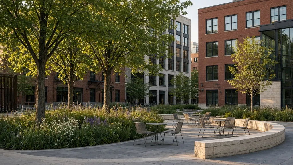
7 min
For students
Site analysis before you draw: how to read a site in LincolnA step-by-step approach to site analysis for landscape architecture students: what to observe, how to document sun, wind, water, soils, circulation and use, and how to turn notes into diagrams that shape a design.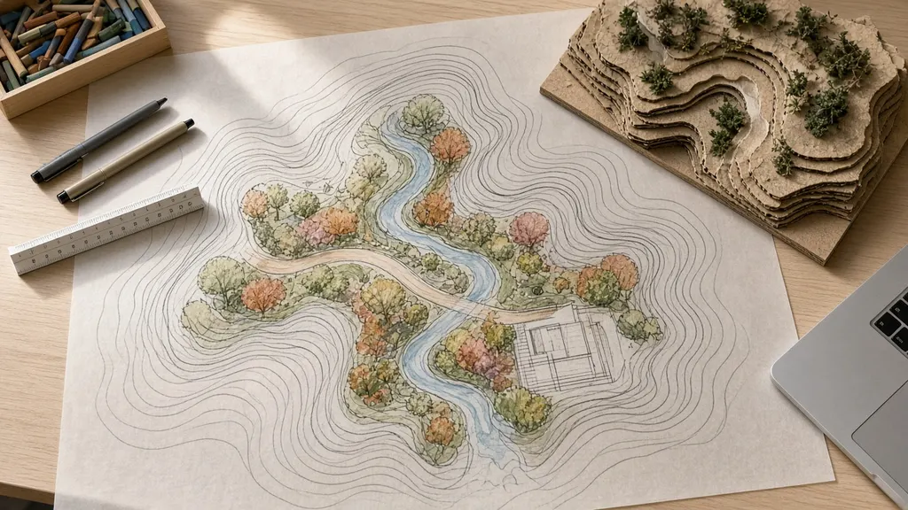
7 min
For students
How to build a landscape architecture student portfolio that shows how you thinkA practical guide for landscape architecture students: choosing projects, structuring case studies, showing process as well as finished drawings, writing captions, and keeping a portfolio honest and easy to read.